HURRICANE HUNTERS
> Eye-to-Eye
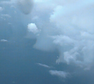
 Hurricane Keith became a powerful Category 4 hurricane
as it prowled off the eastern
shoreline of the Yucatan peninsula. It virtually stalled in that position near
Belize, and pounded the area with high winds and torrential rain. We continued
to fly this powerful storm day and night, monitoring its progress (or lack thereof).
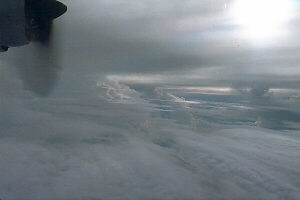
Hurricane Keith became a powerful Category 4 hurricane
as it prowled off the eastern
shoreline of the Yucatan peninsula. It virtually stalled in that position near
Belize, and pounded the area with high winds and torrential rain. We continued
to fly this powerful storm day and night, monitoring its progress (or lack thereof).
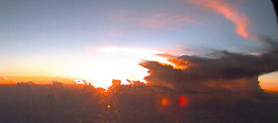
In the photo to the right (taken on Sept 30th, you can see some curvature in the lower clouds, which show that we're just exiting the tight circle of clouds at the center of Hurricane Keith. The setting sun dimly glows through the thickening cirrus clouds which cap this large hurricane.