HURRICANE HUNTERS

  • HOME
  • Cyberflight
    > Eye-to-Eye
  • Data
  • Events & PA
  • Gallery
  • Jobs
  • History
  • Stories
  • Background
  • FAQs
  • Ask Us
  • Links

  • Daniel
  • Debby
  • Eye to Eye with Tropical Storm Beryl

    white caps tell us wind direction

    We flew five missions into TS Beryl. Our first flight was in the Caribbean, when the disturbance was a "tropical wave" which had not yet formed a cyclone all the way to the surface. We checked it out again after it crossed the Yucatan and moved into the warm waters of the southern Gulf of Mexico. There we found the winds were blowing in a complete, counterclockwise circle; it was indeed a "cyclone", but at the weakest stage: a tropical depression.

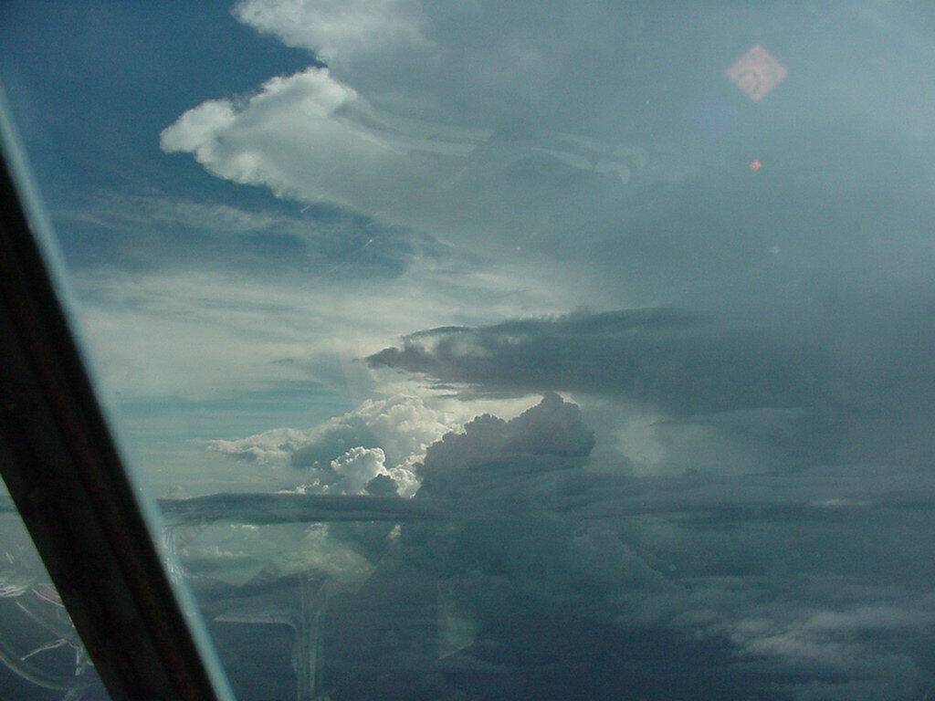
    All of these missions were flown at low level, just 500 to 1500 feet above the sea. We saw plenty of heavy rainshowers, a hallmark of tropical storms.

    click here for larger photo
Hit your BACK key to return here From time to time, we threaded around the dark, towering thunderstorms which were brewing on the east side of the storm. Dark altocumulus clouds look like plates in the mid-levels of the storm. There are some reflections on the window from things inside the plane in this photo, so some of the weird shapes you may see are not necessarily clouds...

    After we found winds above 39 mph, the National Hurricane Center upgraded the tropical depression to a tropical storm, and gave it the name "Beryl". We flew a couple more missions until after the storm made landfall in Mexico, 110 miles south of Brownsville, TX. It produced significant rainfall in northern Mexico and southern Texas.

    Dropsonde Operator Gary
reads surface winds Sunrise in the fringes of Beryl, Aug 15
    Go to Debby or 2000 Summary or Home Page