HURRICANE HUNTERS

  • HOME
  • Cyberflight
    > Eye-to-Eye
  • Data
  • Events & PA
  • Gallery
  • Jobs
  • History
  • Stories
  • Background
  • FAQs
  • Ask Us
  • Links

  • Florence
  • Helene
  • Eye to Eye with Hurricane Gordon

    clouds are parallel to winds

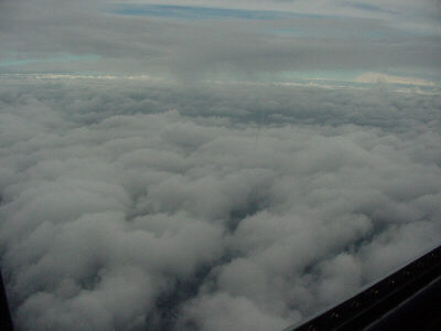
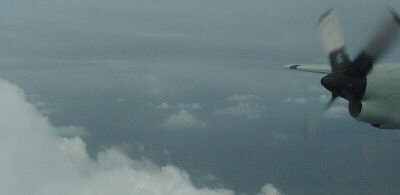
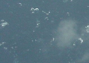
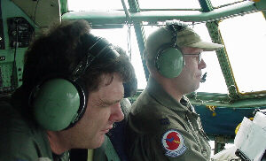
    Hurricane Gordon formed near the Yucatan peninsula and quickly crossed the Gulf of Mexico. It made landfall along northwest Florida.

    These photos were taken in Hurricane Gordon on Saturday, Sept 16th. The next evening, the hurricane encountered more wind shear, which weakened the storm to a tropical storm before it stuck Florida.

    We typically fly these hurricanes at 5000 feet (at 850 millibars, a standard level used by meteorologists around the world), and fly higher when the storm becomes stronger. We plunge in and out of clouds the entire flight, catching glimpses of the sea surface when we hit a clearing. Cruising at 5000 feet
    larger smudge is a cloud Looking straight down at the sea a mile below, we can estimate the winds below us by the character of the ocean surface... greenish patches of foam attest to winds of at least tropical storm force in this area. At the same time, we are constantly collecting precise wind data at our altitude, using sensors mounted on the plane.
    Flight Engineer (left); 
Pilot (right) Navigator (left); 
Weather station (right)
    Our aircrews consist of at least six members... On this crew, Pilot Dwayne came all the way from his airline job in Guam to fly with us... (think about that the next time you grumble about your commute to work...), which shows just how much our Reservists enjoy this mission. Knowing that we are helping so many people, as part of the national hurricane surveillance network, is what keeps us coming back to this job each season. We will continue to fly Hurricane Gordon around the clock, until it makes landfall.
    Go to Helene or 2000 Summary or Home Page