HURRICANE HUNTERS

  • HOME
  • Cyberflight
    > Eye-to-Eye
  • Data
  • Events & PA
  • Gallery
  • Jobs
  • History
  • Stories
  • Background
  • FAQs
  • Ask Us
  • Links

  • Emily
  • Eye to Eye with Hurricane Dennis

    click on pic for larger version 
but hit BACK to return here 
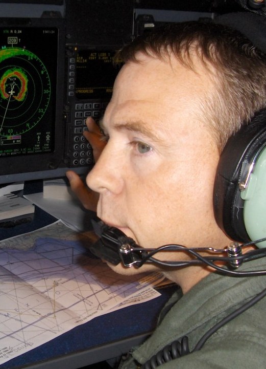
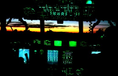
We followed Hurricane Dennis on a dozen missions, from 6 - 10 July. In the midst of the flights, we moved our operations, lock, stock and barrel, from a base in the Caribbean to Houston to be closer to the storm as it moved further into the Gulf. At the same time, the rest of our crews scrambled to prepare their homes and then evacuate the rest of the 403rd Wing aircraft from our base on the Mississippi out of harm's way; after all, if WE don't heed the warnings inspired in part by the data from our flights, who will? The forecast track was too close to our base to ignore, and we were well within the bubble of forecasted landfall possibilities.

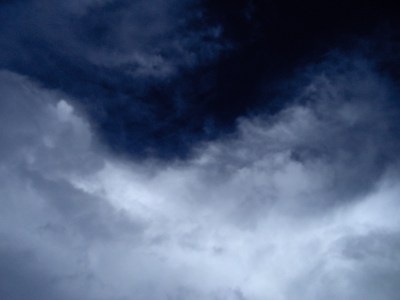
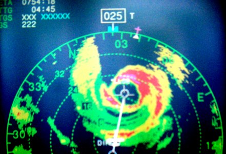
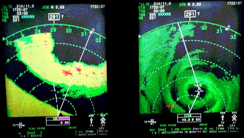
    In those few days, we monitored the storm around the clock as it exploded from a tropical storm into a dangerous Category 4 on the Saffir-Simpson scale. This we found at 1:00 a.m. on July 10th, as Dennis was getting closer to making landfall on the Florida panhandle (just east of storm-weary Pensacola), and then weaken to a Cat 3 prior to landfall. After the storm moved moved inland, we returned with our aircraft, thankful to have "dodged the bullet". Oh, little did we know what was in store for us six weeks later...

    hurricane dennis eye navigator
    Our new Chief Navigator, Rob, got a baptism by fire in his first season with us. Here he gets ready to press the button to lock in the location of the exact center of Hurricane Dennis as soon as the weather officer calls out, "Fix it here!". After that, he set up the outbound track and guided the aircraft out 105 miles to the southwest of the center, so the weather officer could map out the winds in that sector, before they turned for the next inbound through the southeast quadrant, and eventually all four sides of the storm.
    looking up Looking straight up in the eye, we see some of the high, wispy cirrus clouds forming circular patterns, consistent with the light winds twisting aloft. A hurricane is like a gigantic chimney; most of the air rises in the eyewall, and sinks in the eye itself, but the circulation of the air is still evident in the cloud pattern.
    hurricane dennis eye This was the first season we employed the new WC-130J full-time. Although we were continuing some final tests on how the radar and propellers would perform in the absurdly heavy rain found inside hurricanes, we were confident the plane would do the job. Here you can see how the radar color-codes the rain, with the green being the lightest rain, up to red, and even some magenta (purple). There's a small white aircraft symbol under the word "direct" (that means we are going "direct" to the next point: the eye!). This shows how we are approaching the eyewall from the southwest corner of the storm, just starting to penetrate one of the inner feederbands which surround the eye. We can anticipate a somewhat rougher ride when we get to the other side, which has a lot more red and magenta in it.
    sunset in the cockpit As another long night descends upon the crew, the glow of all the electronic instruments in the "glass cockpit" competes with the last rays of sunlight.
    radar side by side
    On the flight deck, two of the display panels show different views of the radar; on the left, we have a closeup of the nearest band of heavy weather we will next cross, while the other panel shows the entire inner core of the storm. We can choose between color enhancements, or "monochrome". We will describe the size and shape of this storm to the forcasters at the NHC, such as the formation of "concentric eyewalls", which often signal fluctuations in intensity. Click here to see a short movie clip which shows spots of turbulence flashing in the eyewall.

    Next to Emily, or Return to Hurricane Hunter Home Page