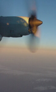
HURRICANE HUNTERS

  • HOME
  • Cyberflight
    > Eye-to-Eye
  • Data
  • Events & PA
  • Gallery
  • Jobs
  • History
  • Background
  • FAQs
  • Ask Us
  • Links
  • Huntin' the Winter Storms

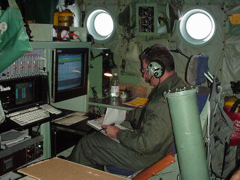
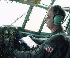
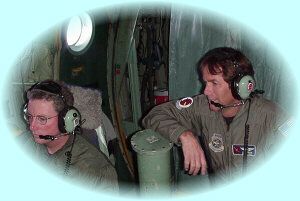
    We will drop a half-dozen or more dropsondes along the winter storm tracks. These instruments work the same as a weather balloon, except they go down instead of up. They measure temperature, humidity, pressure and winds as they fall, and radio these data back to the plane. There, the Dropsonde Operator checks the data, and then sends it by satellite link to the National Hurricane Center, where it enters the world-wide data base.

    The Hunters flew over the Grand Canyon on their way out West to fly more winter storms. A bright, thick bank of cirrostratus clouds rides atop a scattered layer of cumulus clouds.
    The missions last from 10 to 13 hours, so we will often catch a beautiful sunset or sunrise during the flight. We reach 29,000 feet or higher, near the 300 millibar level in the atmosphere.
    We normally fly a day or so ahead of the storm. Forecaster use our information to determine if the conditions are ripe for the storm to develop further, and how much rain or snow may fall. The propeller is barely visible once we enter the heavy rain. Since we are flying so high, where the temperatures may reach -30F or colder, we also must be on guard against icing.
    Dark gray altostratus clouds creep into the mid-layers of the storm system. The tail isn't well insulated, so we put up heavy curtains to keep the cold air back there.
    Continue with Dec 2000 Flight -or- Return to Home